Infrastructure
One country, five maps: how Mexico is divided electrically
Mexico does not have one electricity map; it has five stacked on top of each other. Who operates, who transmits, who distributes, what it costs and where the price is set all follow different borders, and none of them match the states.
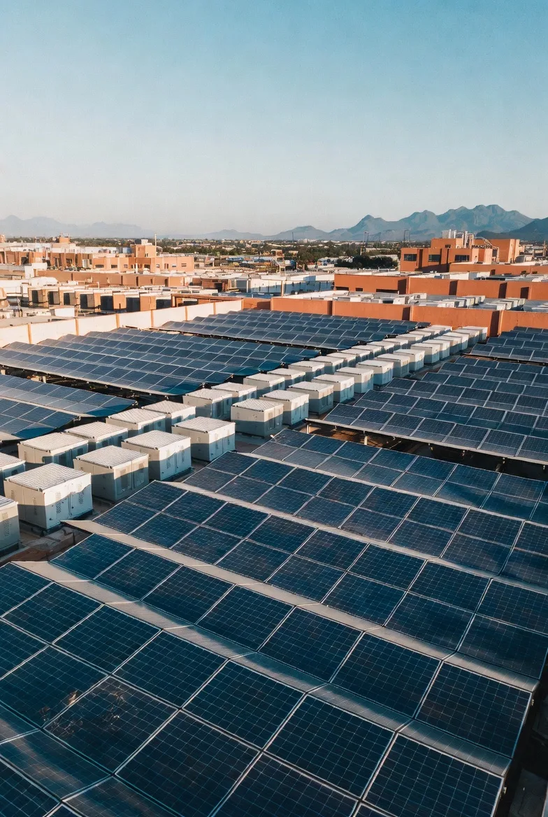
Origination and structuring of USD 5–50 million infrastructure projects in the Bajío.
Talk to us about your projectWhen an investor asks “where should the plant go?”, the answer usually comes back as a state: Guanajuato, Querétaro, San Luis Potosí. The grid does not think in states. Mexico has at least five electricity maps stacked on top of each other, each drawn by a different institution to answer a different question, and none of them respects state lines.
This piece walks through them from largest to smallest. The counts come from CENACE’s NodosP Catalogue (version of 18 June 2025), the public file that assigns every point on the grid to its system, region, zone and division.
1. Three systems that do not touch
Before any region, Mexico is split into electrically separate systems:
- National Interconnected System (SIN). From the Rio Grande to the Yucatán peninsula. It holds 2,425 of the country’s 2,576 pricing nodes (the catalogue lists another 9 that are interconnection points with the United States, Belize and Guatemala).
- Baja California (BCA). Not connected to the rest of Mexico, but connected to California through two 230 kV lines at Otay Mesa and Imperial Valley. It includes San Luis Río Colorado, in Sonora.
- Baja California Sur (BCS). An electrical island: everything it consumes is generated inside it.
- Mulegé. An even smaller system, run from Santa Rosalía and isolated even from BCS.
Connecting Baja California to the SIN has been promised across more than one administration; in April 2025 CFE described it as a project “under analysis”. The subsea direct-current link for BCS was cancelled in January 2019. In practice, a project on the peninsula plays by different physics: with no neighbours to lend reserves, every megawatt of backup has to be built at home. That is why storage follows a different logic there than on the mainland.
2. Nine control regions: who operates
CENACE dispatches the system from nine Regional Control Offices. Seven are in the SIN and two on the peninsula:
| Control region | Seat | Load zones | Pricing nodes | Main coverage |
|---|---|---|---|---|
| Oriental | Puebla | 32 | 546 | Puebla, Veracruz, Oaxaca, Chiapas, Tabasco, Tlaxcala, Guerrero |
| Occidental | Guadalajara | 26 | 720 | Jalisco, Guanajuato, Querétaro, Aguascalientes, Michoacán, Colima, Nayarit, Zacatecas, SLP |
| Noreste | Monterrey | 13 | 306 | Nuevo León, Tamaulipas, part of Coahuila, the Huasteca of SLP |
| Noroeste | Hermosillo | 10 | 214 | Sonora, Sinaloa |
| Peninsular | Mérida | 8 | 109 | Yucatán, Campeche, Quintana Roo |
| Norte | Gómez Palacio | 7 | 269 | Chihuahua, Durango, La Laguna |
| Central | Mexico City | 6 | 261 | Valley of Mexico and parts of Hidalgo, Morelos, Puebla, Guerrero and Michoacán |
| Baja California | Mexicali | 4 | 120 | Baja California, San Luis Río Colorado |
| Baja California Sur | La Paz | 3 | 31 | Baja California Sur |
One load zone (Centro Oriente) straddles Central and Oriental, which is why the column adds up to 109 rather than 108. Two things stand out. First, Occidental is the largest region in the country by node count (720, almost one in three), and the industrial Bajío sits entirely inside it. Second, control regions cut across states. Ten states have nodes in two or more regions; Hidalgo is split across four, and San Luis Potosí has its high plateau in Occidental and its Huasteca in Noreste.
3. 53 transmission regions: where the bottleneck is
For grid planning, SENER and CENACE group nodes into 53 transmission regions: 45 in the SIN, 5 in Baja California and 3 in Baja California Sur. Each region is a bubble with spare capacity inside; what limits it are the links between bubbles, each with a transfer cap in megawatts.
This is the map that decides whether a solar park can connect, because congestion does not happen inside a region but on the line that ties it to the next one. The Bajío is spread across regions named Querétaro, Salamanca, Aguascalientes and San Luis Potosí. For finer studies, CENACE disaggregated these 53 bubbles into about 110 in 2023.
4. 108 load zones: where your price is set
Mexico’s wholesale market computes a locational marginal price at each of the country’s 2,576 nodes. Consumers, however, do not buy at a node: they buy in a load zone, which averages the nodes of an area. There are 108: 101 in the SIN, 4 in Baja California and 3 in BCS.
Zones are named after their main city, but they are not cities. Guanajuato’s 154 nodes fall into five zones (León, Irapuato, Celaya, Salvatierra and Querétaro), and some of Querétaro’s nodes fall into the Irapuato zone. Guanajuato, Querétaro, Aguascalientes and San Luis Potosí together hold 364 nodes spread across 14 load zones.
5. The physical grid, distribution and tariffs
The three maps above belong to the operator. The assets have an owner, and the owner has its own map:
- CFE Transmisión runs the high-voltage grid through 9 regional offices (Baja California, Noroeste, Norte, Noreste, Occidente, Central, Oriente, Sureste and Peninsular). Their borders are not CENACE’s: nodes in Guanajuato and Querétaro report to both the Occidente and the Central office. The grid is mostly 115 kV: 1,923 of the catalogue’s 2,585 nodes sit at that voltage; only 53 are at 400 kV.
- CFE Distribución runs medium and low voltage in 16 divisions. The Bajío is essentially the Bajío Division, with parts of Golfo Centro.
- Regulated supply tariffs are published for 17 tariff divisions: the 16 distribution divisions plus Baja California Sur as its own. The same industrial tariff (GDMTH) carries different charges in Bajío, Peninsular or Baja California.
- Households get a sixth, climatic map: tariffs 1 to 1F are assigned by minimum average summer temperature (from below 25 °C to 33 °C or more).
The read for the Bajío
First: locate the project by node, not by state. A plant in Apaseo el Grande and another in Silao are in the same state, about 100 km apart, but on different electrical maps: Apaseo falls in the Querétaro and Celaya load zones, the Querétaro transmission region and CFE’s Central transmission office; Silao in the Irapuato zone, the Salamanca region and the Occidente office. León, for its part, belongs to the Aguascalientes transmission region. The useful question is not “Guanajuato?” but “which substation, which zone, which link?”.
Second: the bottleneck lives in the links. The Occidental region has more nodes than any other and hosts the Bajío’s industrial corridor. The capacity of the lines tying it to Central, Noreste and Norte will shape what can be built in the Bajío over the next decade more than any permit.
Third: the maps do not line up, and that is where the work is. Operator, transmitter, distributor and tariff using different borders is not a defect about to be fixed; it is the legacy of a system that grew in layers. For anyone originating projects, translating between those maps is part of the value.
Sources: CENACE — NodosP Catalogue of the SEN (v2025-06-18) · SENER — PRODESEN 2022, ch. 5: regional control offices · CFE Distribución bylaws (DOF 04-01-2018) · Observatorio de Transición Energética — Basic structure of the SEN · El Heraldo de México — CFE analyses Baja California interconnection (Apr-2025) · BCS Noticias — BCS–SIN link cancelled (Jan-2019) · Aurea Energy — CFE tariffs by division (2023) · Expansión — household tariffs 1 to 1F
Origination and structuring of USD 5–50 million infrastructure projects in the Bajío.
Talk to us about your projectThis article is also available in Spanish. Read in Spanish